Drier than typical conditions are expected for much of Australia for the rest of winter and into spring. Most vegetable and melon regions are likely to see warmer and drier than median conditions.
Rainfall outlook
For August to October, there is a 20-40% chance of exceeding median rainfall for most of Australia. There is only a 20% chance of exceeding median rainfall for large parts of Victoria (Werribee, Melbourne sand belt, Mildura, Robinvale, Swan Hill), south-east SA (including Northern Adelaide Plains) and south-west WA.
Importantly, this outlook does not rule out the possibility of any rainfall at all, but rather that a drier than typical period ahead is the most likely scenario.

Areas having a roughly equal chance of median rainfall include coastal NSW, parts of far north-east Queensland, including the Atherton Tablelands, and the Kimberley.
Temperature outlook
For August to October, above median maximum temperatures are very likely (greater than 80% chance) for almost all of Australia. This includes most of the main vegetable growing regions. The one slight exception is around the far north-east coast of Queensland (including parts of the Atherton Tablelands), where there is a roughly 50-60% chance of exceeding median maximum temperatures.

Overnight minimum temperatures are also likely to be higher than typical for most of Australia, with some exceptions around south-east SA, north-west Victoria and western NSW.
Climate influences
An El Niño Alert remains current. When El Niño Alert criteria have been met in the past, an El Niño event has subsequently developed around 70% of the time. El Niño events typically result in warmer temperatures over much of the country, but an increased frost risk due to less overnight cloud cover.
The Indian Ocean Dipole (IOD) is currently neutral. The Bureau’s climate model suggests positive IOD development during winter. During winter–spring, a positive IOD typically supresses rainfall over much of Australia, and if it coincides with El Niño, it can exacerbate El Niño’s drying effect.
The Southern Annular Mode (SAM) index is currently negative and expected to remain negative for the next two weeks. A negative SAM typically increases rainfall for parts of south-west and south-east Australia during winter.
Longer-term trends: Australia’s climate has warmed by around 1.47 °C in the period from 1910 to 2021, leading to an increase in the frequency of extreme heat events. Southern Australia has seen a 10-20% reduction in cool season (April to October) rainfall in recent decades.
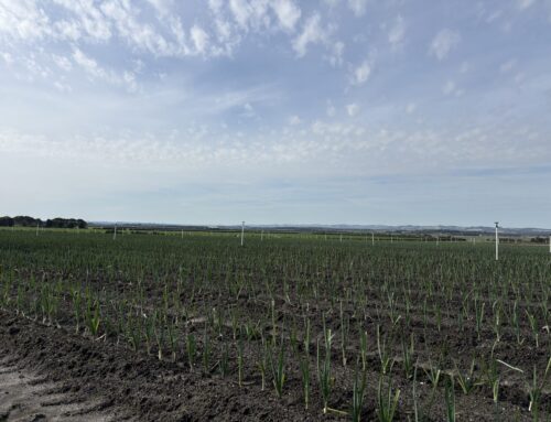
What it means for your soil moisture and crop protection
Despite recent wet years (2022 was Australia’s ninth-wettest year on record), rainfall deciles from 1 April to 30 June 2023 remain below average for part of Queensland, NSW and WA, while above average rainfall has been observed for parts of SA, Victoria and the NT.

Root zone soil moisture consequently remains average to above average for the majority of Australia however below average for the eastern coastal zones of Queensland and NSW. The upcoming drier than typical outlook is likely to impact soil moisture levels.

It is paramount to stay on top of your irrigation management in the next three months. For more information on irrigation tips and tricks, and how to meet your crop water use, explore our project resources: www.soilwealth.com.au/resources.
Resources:
- Climate Outlooks – Rainfall, Temperature and Climate influences
- Recent and historical rainfall maps
- Australian Water Outlook
Outlook provided by Bureau of Meteorology. To get in touch, please email: agriculture@bom.gov.au